Delta's Dirty Secret: How Climate Change is Drowning California's Lifeline
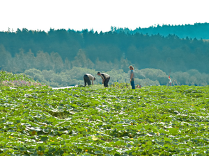
Photo by Chris Briggs on Unsplash
California’s Delta is in deep trouble, and we’re not just talking about water depth. Imagine a critical infrastructure system that’s literally sinking beneath our feet, with levees so fragile they could collapse faster than your last situationship.
The Sacramento-San Joaquin Delta, a crucial water hub for 30 million Californians, is facing a catastrophic infrastructure meltdown that could cost billions. We’re talking about 1,100 miles of earthen levees that are one bad storm away from total disaster.
The Ticking Time Bomb
These aging dirt walls are holding back not just water, but entire communities, farmlands, and our state’s water supply. Experts warn that without major upgrades, we’re looking at potentially $10 billion in infrastructure at risk. And get this - some areas are literally 25 feet below sea level, protected by nothing more than glorified dirt piles.
The Money Pit
Local landowners are drowning in debt just trying to keep these levees from failing. State reimbursements are so slow that farmers are essentially funding critical infrastructure out of their own pockets. One repair cost nearly $700,000, and they’re still waiting for federal emergency funds.
The Climate Crunch
With rising sea levels, more extreme winter storms, and continuous land subsidence, these levees are fighting a losing battle. Experts predict some lower-value lands might just… disappear. Welcome to California’s water apocalypse, brought to you by climate change and bureaucratic negligence.
AUTHOR: mls
SOURCE: Local News Matters